Eagle River Coalition asks the state to reject Aurora's Wild Horse Reservoir application
The coalition's Nov. 12 announcement says too many questions remain about where the water for a 95,000 acre-foot Park County reservoir would come from, and what it would mean for Homestake Creek and the Eagle River. Public comments close Nov. 19, 2026, at 5 p.m. Mountain time, and a second comment round will follow new water quality data.
The Eagle River Coalition announced its opposition on Nov. 12 to Aurora Water's application for the proposed Wild Horse Reservoir, and asked the Colorado Department of Public Health and Environment to reject the application as submitted. The coalition argues that too many questions remain about the project's water sources, and its potential impacts on Homestake Creek, the Eagle River and the Colorado River Basin.
The project itself is described on the department's project page. Aurora Water proposes a new off-channel reservoir in Park County, about 10 miles south of the town of Hartsel and a similar distance southwest of Spinney Mountain Reservoir, with a storage capacity of 95,000 acre-feet on about 1,630 acres. A single dam at the northwest end would measure about 3,700 feet long and 170 feet tall. The application, numbered CODF00001, seeks an individual dredge and fill authorization under Regulation 87, the state dredge and fill rule adopted after federal Clean Water Act coverage narrowed. The department's page says the reservoir would be filled through the Otero Conveyance System, by gravity and with no pumps required, with releases piped to Spinney Mountain Reservoir, and presents the applicant's purposes as future supply storage, drought resilience and an emergency reserve.
The Homestake argument at the center of the opposition
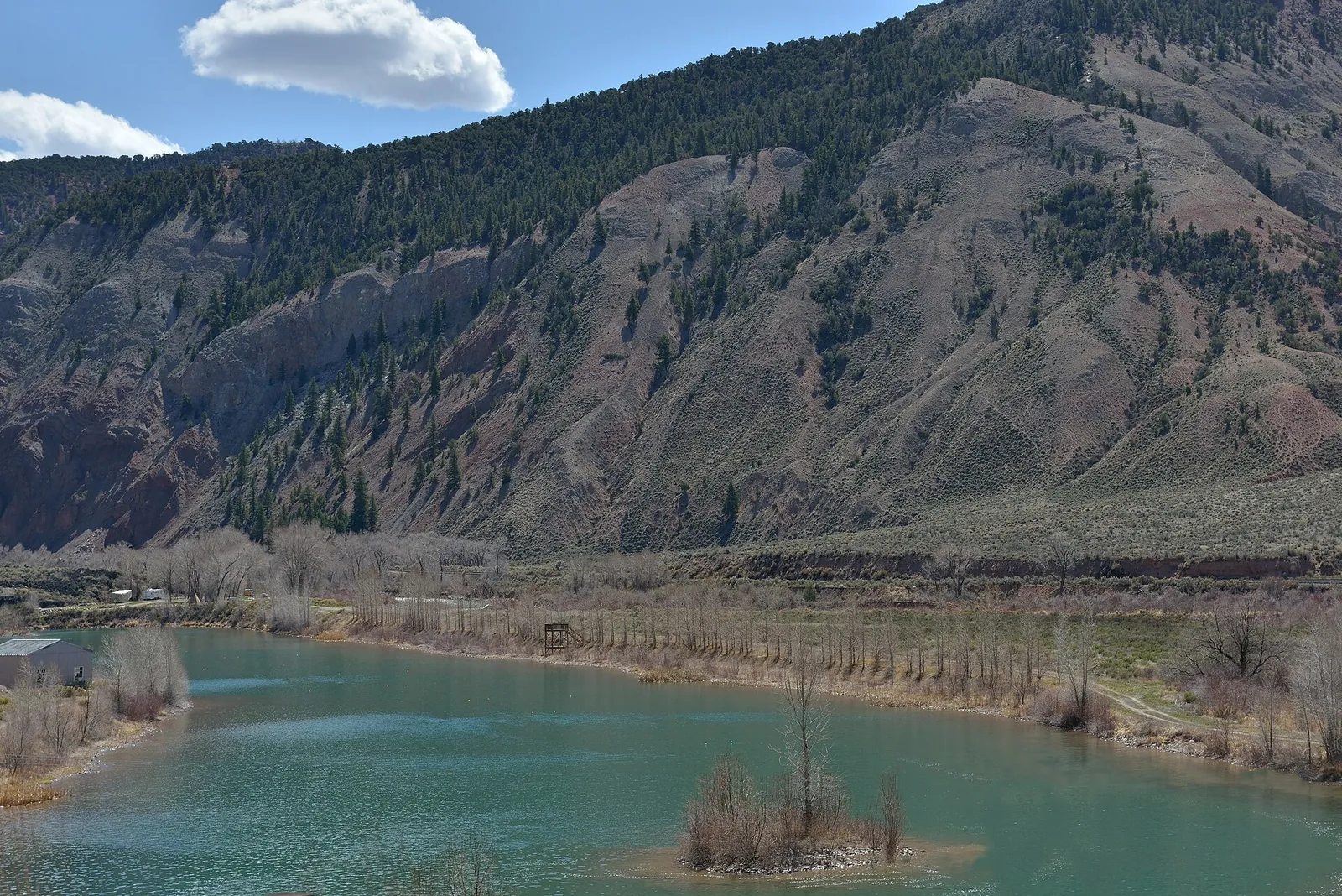
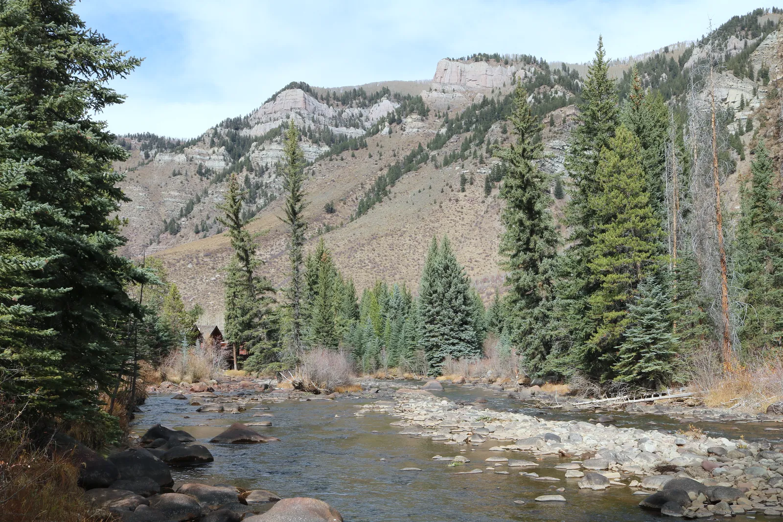
The coalition's fact sheet gives a different account of where the water would come from. It says the reservoir would take additional diverted water from two river basins, the Colorado and the Arkansas, drawing on the Eagle, Fryingpan and Roaring Fork rivers, with the majority of that additional transmountain diversion water coming from Homestake Creek in the upper Eagle basin. The same sheet says Homestake Creek flows are already diverted by 50 to 70 percent in different years, representing 25 to 40 percent of the river's natural flow at Minturn, and that upper Eagle River flows above Minturn are permanently reduced by 20 to 25 percent in average and wet years, and by up to 44 percent in dry years. Those figures are the coalition's own, and they are the basis of its campaign.
Readers should note that the two accounts of the filling source do not match. The coalition is asking the department to require a full public accounting of where the project's water would come from, how much would move and when, and what the combined effect of all those movements would be, to weigh the proposal against the Colorado River Basin's future, and to examine alternatives first. That accounting question, rather than the reservoir's size alone, is what this comment round puts before the department.
What the state record shows, and the calendar ahead
On the project's direct physical footprint, the department's page records that Aurora's conceptual design counts 8.087 acres of wetlands and other state waters that would be permanently lost beneath the dam and the water it impounds, impacts the design treats as unavoidable, and that the application anticipates no impacts to state waters from building the pipelines, roads or other works. The department issued its notice of complete application on July 29, 2026, and states plainly that completeness is a procedural finding, not a decision on the merits. The merits review, with the department's own alternatives comparison and water quality analysis, comes later.
On Nov. 2, the department notified the public that commenters had identified water quality data and modeling, needed for the department's own alternatives comparison and water quality impacts analysis, that the application materials do not fully include, that it had asked Aurora Water to provide the additional information, and that it expects to receive it by the end of December 2026. A second public notice and comment period, covering that additional material, will follow. The current comment period, noticed on Sept. 4 in the Water Quality Information Bulletin and extended by 45 days, closes on Nov. 19, 2026, at 5 p.m. Mountain time. Comments go to the department's Dredge and Fill Unit with the subject heading WHS PN Comments, using the address published on the department's project page, and the coalition is urging landowners, water providers, businesses and community members to file before the deadline.