Forecasters see six to eight inches for the central mountains as a weekend storm lines up
The National Weather Service in Grand Junction expects the storm now leaving the mountains to be followed by another: snow levels falling to the valley towns on Thursday night, and a broad swath of six to eight inches across the central mountains by Saturday morning, with colder air behind it.
The snow showers that crossed the Divide overnight are on their way out Wednesday morning, and the National Weather Service in Grand Junction is already tracking the next system behind them. In its forecast discussion issued at 4:40 a.m. Wednesday, the office says a low diving out of the Pacific Northwest into the Great Basin will send a plume of moisture into northwest Colorado on Thursday evening, with mountain snow spreading southeast across the state through Saturday morning. For the central mountains, the discussion is specific: the best snow favors this part of Colorado, with a broad swath of six to eight inches of mountain snow and locally higher totals on favorable aspects.
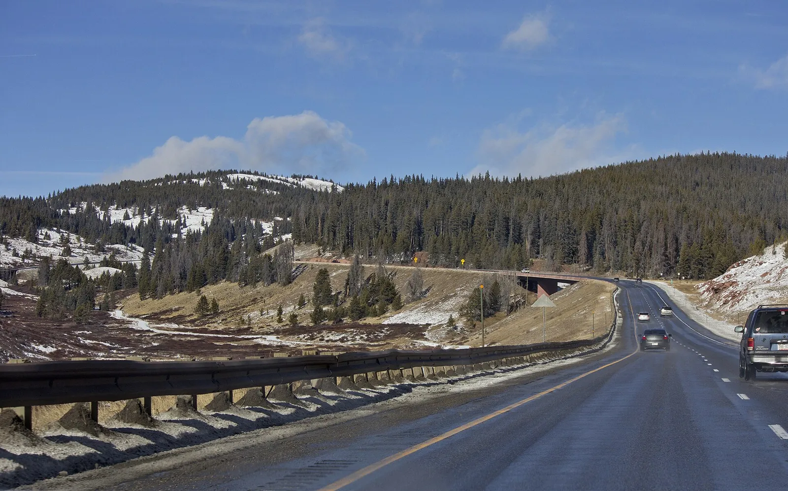
Wednesday itself is a transition day. Rain and snow taper across the mountains early, and the discussion warns that motorists can expect slick roads on the mountain passes before drier air and clearing skies improve conditions by midday. Winds stay gusty against the Divide through the morning, then lighten as the system exits onto the Plains. Temperatures recover only slightly and remain a few degrees below normal. Thursday brings a brief ridge and a few degrees of warming, but clouds return ahead of the approaching low, and winds pick up again, first across the Four Corners and by Thursday afternoon in the Uncompahgre and San Juan mountains, as a strong jet streak rounds the base of the low.
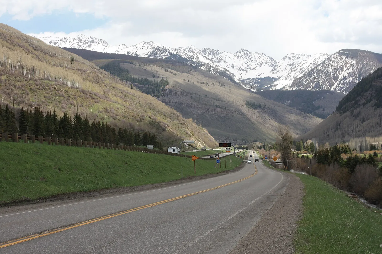
Snow levels fall to the valley towns by Friday
The change arrives Thursday evening, when the moisture plume works into northeast Utah and northwest Colorado and rain and snow showers develop. Snow levels drop into the 6,000 to 7,000 foot neighborhood on Thursday night, which puts Vail, Avon and Edwards in the snow rather than the rain, and they continue to lower on Friday, with most of the forecast area below freezing by Saturday morning. Mountain snow picks up first in the Uinta Mountains on Thursday night and works southeast across Colorado's ranges into Saturday. Even a few low valleys could pick up a dusting by Saturday morning if the cold air holds. Forecasters note the track of the low can still adjust, and with it the totals.
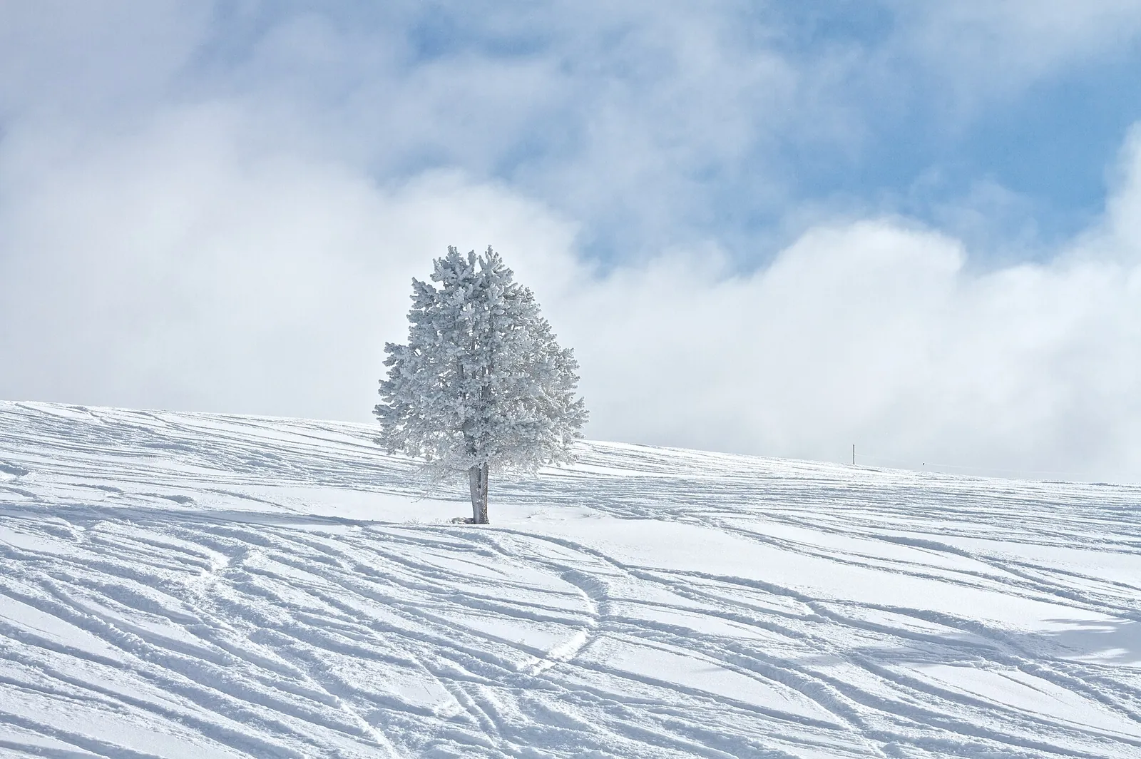
In the discussion's own assessment, the best snow will favor the central mountains of Colorado.
What follows the storm is cold that stays. The discussion says the cold air behind the system holds afternoon highs below normal for days afterward, and mornings start below freezing, a shift in an anomalously warm, wet fall. High pressure then moves in late this weekend and starts Thanksgiving week, and the models the forecasters reviewed hint at another disturbance crossing the region on Tuesday, possibly the start of an unsettled stretch over the holiday weekend. As of the Wednesday morning discussion, the Weather Service had no watches, warnings or advisories in effect for Colorado, so the weekend storm is an outlook to plan around, not yet a warned event.
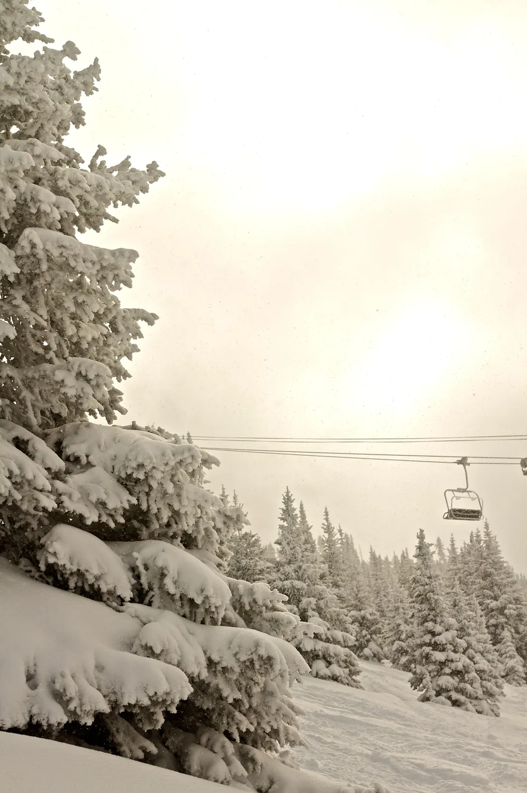
What to check before you travel
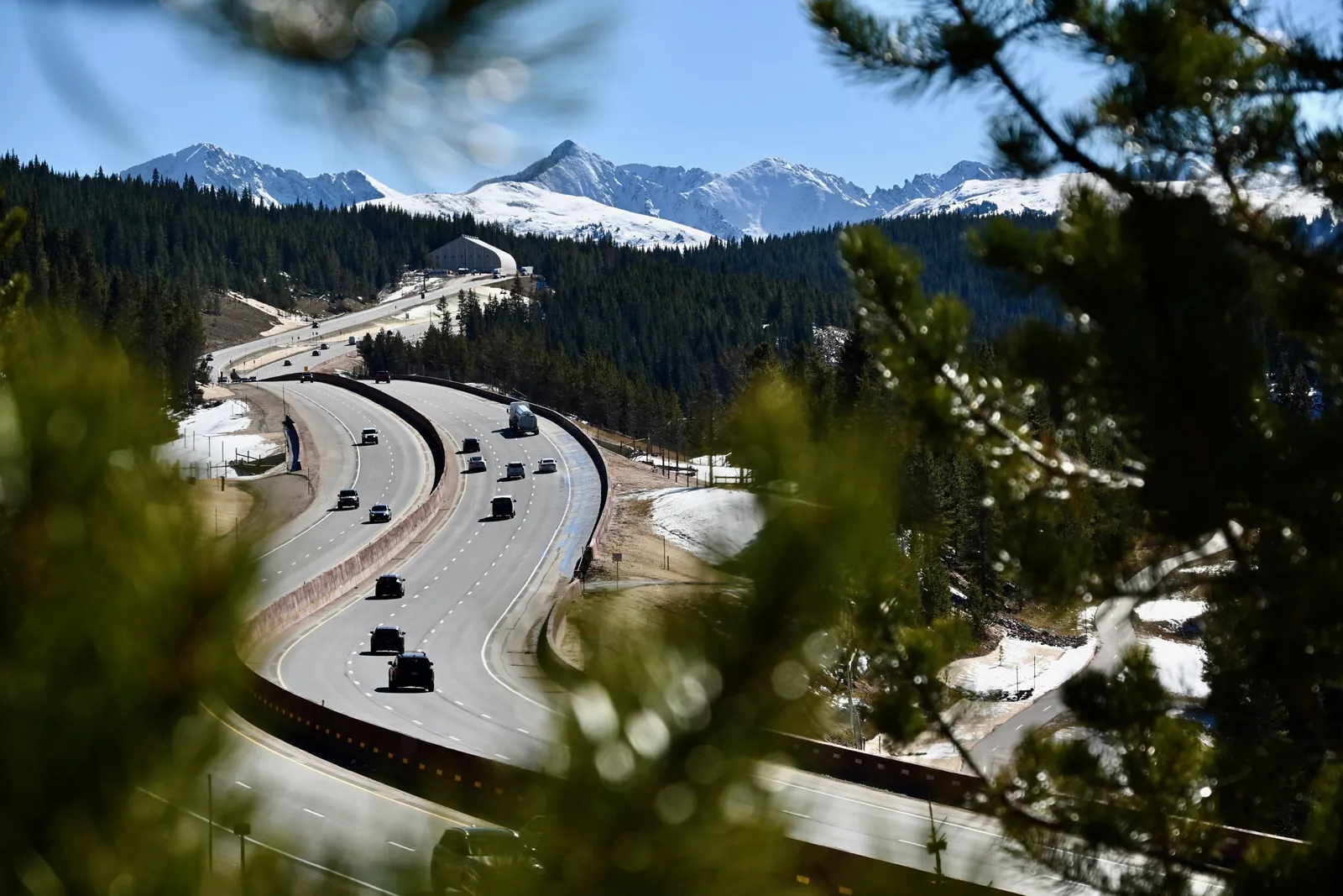
Because conditions on the passes change by the hour, the Tribune does not publish its own road or avalanche calls. Before any trip over Vail Pass this weekend, check the Colorado Department of Transportation's COtrip service for live road conditions, camera views and the traction and chain requirements in force when you travel, read the Weather Service's point forecast for the Vail Pass summit area rather than a valley forecast, and, for anyone heading into the backcountry, read the Colorado Avalanche Information Center's forecast for the Vail and Summit County zone before leaving the trailhead. Fresh snow on a young early season snowpack, on gusty winds, is the combination the CAIC exists to assess.
For the ski areas, the timing lands well. Vail Mountain's planned opening was Nov. 13, and Beaver Creek's planned opening is Wednesday, Nov. 25, the day before Thanksgiving, so a six to eight inch natural deposit the weekend before, followed by below freezing mornings, is the kind of week both mountains plan their Novembers around. Forecasters say more detail on the storm will come in subsequent forecast packages.