CDOT declares the West Vail Pass project complete, six years and $340 million after work began
State, federal and local officials gathered at the Vail Pass Rest Area on Monday to mark the end of the I-70 West Vail Pass Auxiliary Lanes project: a third eastbound climbing lane, five wildlife underpasses and a passive avalanche mitigation system the state calls the first of its kind in Colorado, across the ten miles between East Vail and the summit.
The construction era on West Vail Pass is over. State transportation officials marked the end of construction on the I-70 West Vail Pass Auxiliary Lanes project on Monday, Nov. 16, at a celebration at the Vail Pass Rest Area, the Colorado Department of Transportation said in its completion release. Taking part were the Federal Highway Administration, local elected leaders and the project's prime contractor, Kiewit Infrastructure Co. The work covers ten miles of Interstate 70 from the East Vail Interchange at Mile Point 180 to the rest area at Mile Point 190.
Vail Pass presents some of the most challenging terrain on Colorado's highway system.
Shoshana Lew, Executive Director, Colorado Department of Transportation, in the department's Nov. 16, 2026 completion release
The release puts the delivered project at $340 million, funded by a $60.7 million federal Infrastructure for Rebuilding America grant, state matching funds and Federal Highway Administration allocations. The department's project page lists a construction cost of $325 million and a timeline of August 2021 to December 2026, so the two published figures describe the same effort at different scopes: the release total, and the construction cost on the project page. Partners listed include the Forest Service, Colorado Parks and Wildlife, the Colorado Avalanche Information Center, Eagle County and the Town of Vail.
A climbing lane, new bridges and a moved recreation path
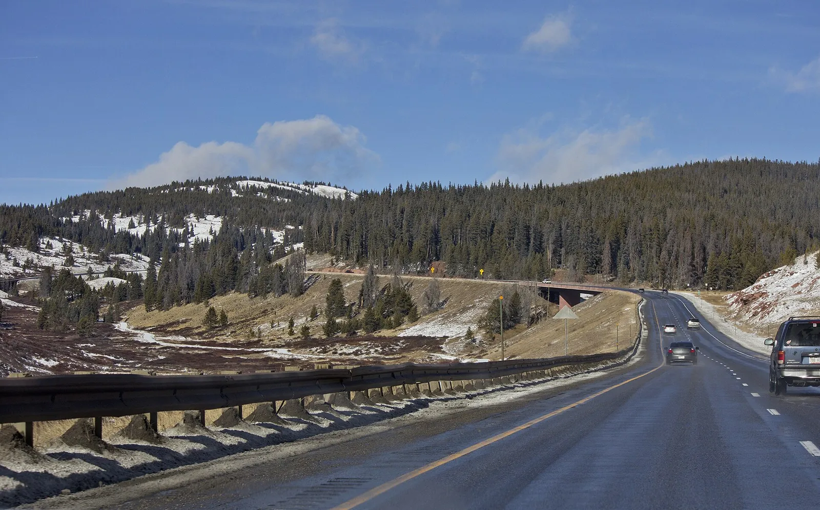
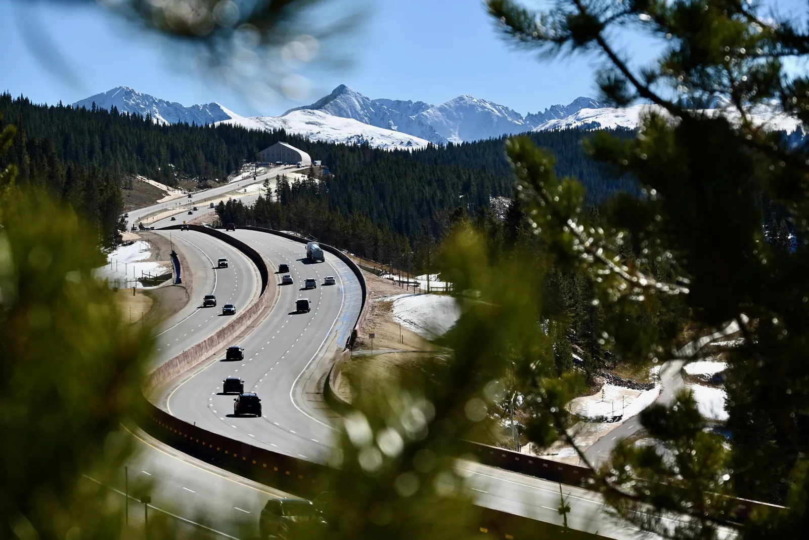
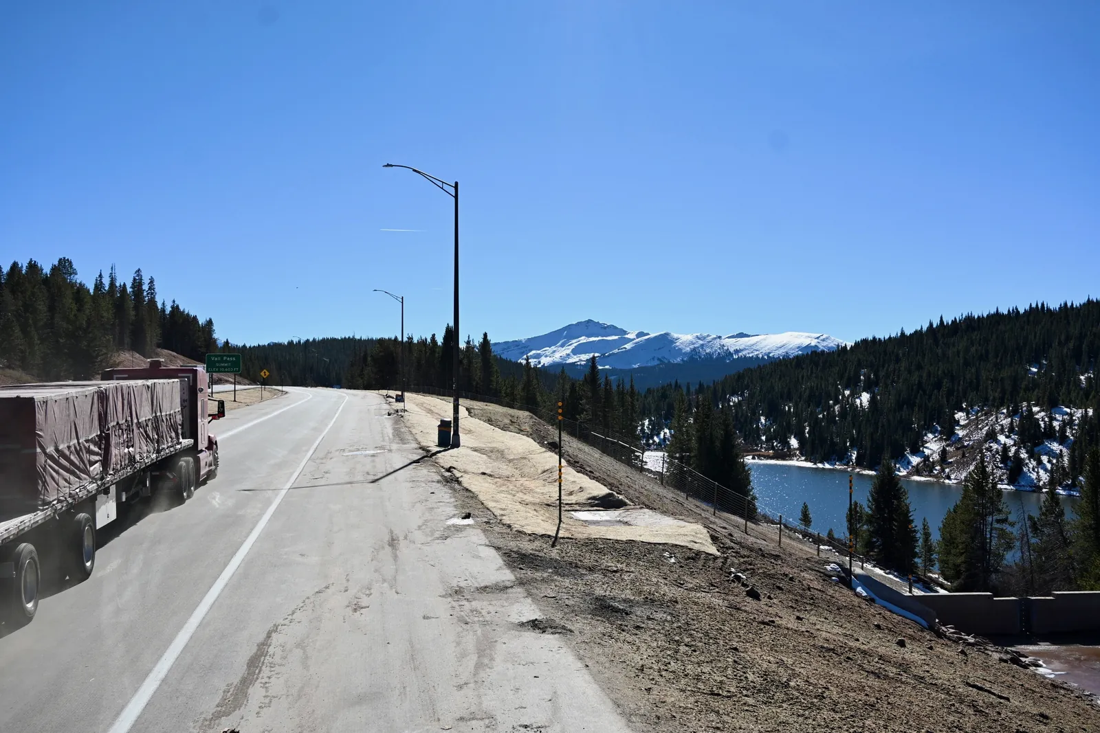
The centerpiece for drivers is a continuous third eastbound climbing lane between Mile Point 187 and the summit at Mile Point 190, built to separate slow moving heavy vehicles from lighter passenger traffic and reduce speed differential crashes. Near Mile Point 185, crews rebuilt the dual bridges with a 100 year service life, realigned them to soften the sharp curves and shifted them north to protect Polk Creek. The Vail Pass Recreation Path was moved further south from the interstate lanes between Mile Points 185 and 187. The department also partnered with the Forest Service to expand the trailhead parking lot on Bighorn Road in East Vail, built by reusing excavated material from the corridor, improving access to the Gore Lake and Deluge Lake trailheads.
An avalanche system designed to keep the pass open
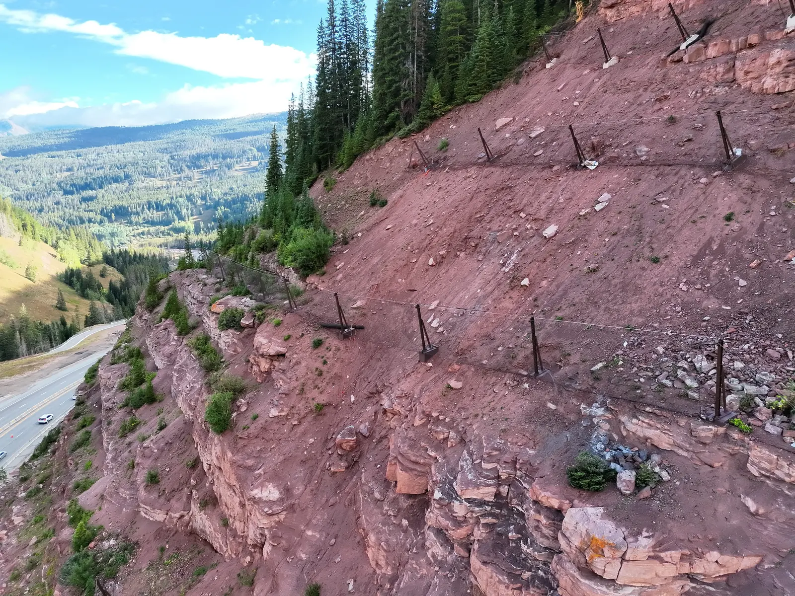
At the Narrows, near Mile Point 186, the project installed a passive avalanche and rockfall mitigation system that the department calls the first of its kind in Colorado. The system allows CDOT and the Colorado Avalanche Information Center to monitor and manage active avalanche paths while limiting the extended multi hour closures that control work on the pass has historically required. A new overhead variable message sign near Mile Point 186.5 feeds an Active Transportation Management System carrying lane closure and warning information. Crews also installed the fiber optic infrastructure behind the corridor's variable speed limit signs and weather sensors, and resurfaced the road with asphalt engineered for severe freeze thaw cycles. This article publishes no current road or avalanche condition: conditions change by the hour, and the authoritative sources remain CDOT's COtrip service for the road and the Colorado Avalanche Information Center's Vail and Summit County zone forecast for the snowpack.
Five crossings for wildlife, and room for trucks
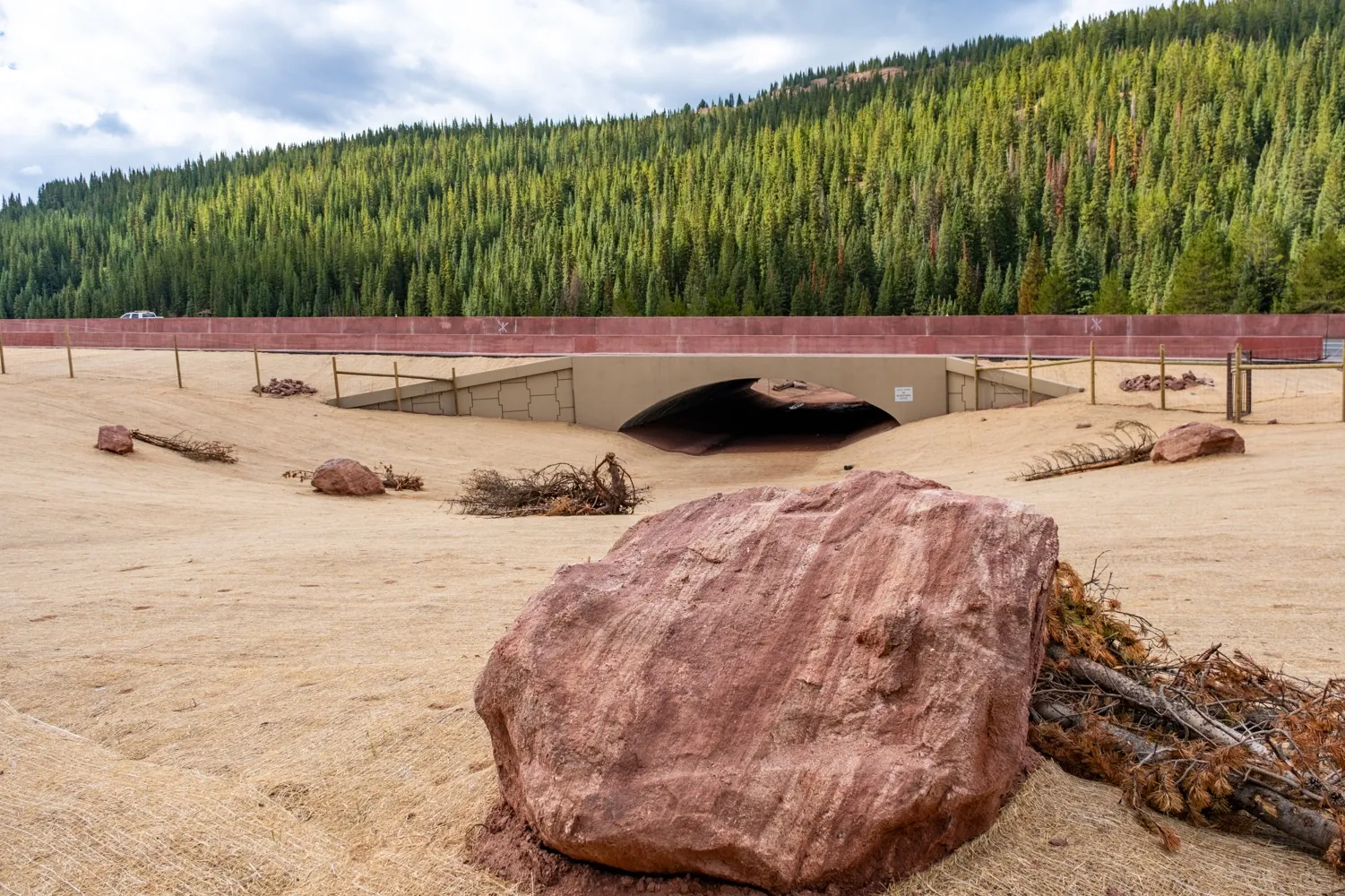
Between Mile Points 187 and 190, the project built five new wildlife underpasses, two large and three small to medium, with fencing to guide animals to them. The department projects the crossings will cut wildlife vehicle collisions by 80 to 90 percent, a projection rather than a measured result, for species including Canada lynx, elk, moose and deer. Sediment basins were upgraded to trap winter traction sand and runoff before it reaches Gore Creek and Polk Creek.
These five underpasses paired with exclusionary fencing form the first multi-crossing system along the mountain corridor, restoring connectivity for wildlife including Canada lynx, elk and mule deer while preventing dangerous and costly collisions over the decades to come.
Laura Clellan, Director, Colorado Parks and Wildlife, in the CDOT completion release
For freight, the emergency truck ramp just east of West Vail at Mile Point 182 was rebuilt with a straighter entry path to prevent runaway truck rollovers, with a hazardous materials settlement basin to protect Gore Creek, and truck parking near the summit was expanded using excavated soil from the site. The department's freight office says it will continue investing in the corridor, including future chain station improvements. The completion comes as winter opens: Vail Mountain began its season on Nov. 13.