How Vail's official mountain weather actually works
Two public sources, the National Weather Service office in Grand Junction and its zone forecast for COZ010, anchor every reliable mountain forecast for Vail. Here is how to read them.
Every mountain forecast for Vail, whether it appears on a ski report, a phone app, or a forecaster's whiteboard, traces back to the same public source: the National Weather Service forecast office in Grand Junction, online at weather.gov/gjt. Understanding how that office publishes for Vail is the difference between reading weather and reading someone's guess about it.
This article explains the official sources. It does not state current conditions or repeat any forecast. For the weather right now, open the sources below and check the timestamps printed on each page.
The zone forecast: COZ010
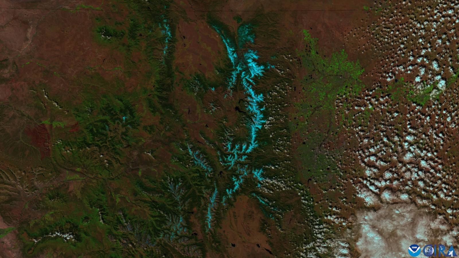
The Weather Service divides its area into forecast zones, and Vail sits in zone COZ010, named "Gore and Elk Mountains/Central Mountain Valleys." The zone forecast at forecast.weather.gov/MapClick.php?zoneid=COZ010 is the office's plain-language outlook for the whole zone, updated with each forecast cycle and carrying its own issue time. It describes sky, precipitation chances, temperatures, and winds for the coming days across the zone.
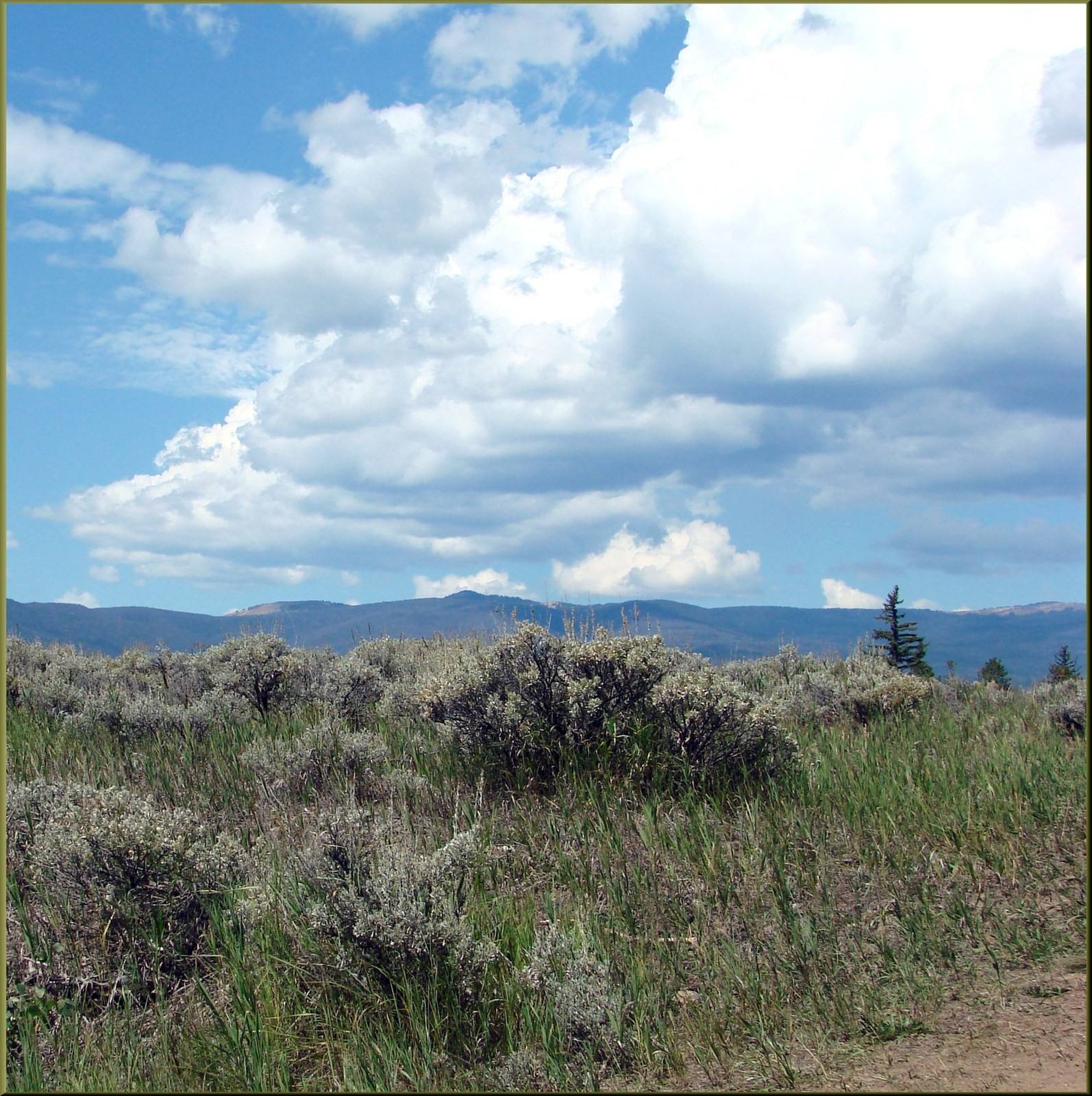
A zone is broad by design. COZ010 stretches across the Gore and Elk ranges and the valleys between them, so the zone forecast will not tell you the temperature at the top of a specific lift. For that, use the point forecast: type "Vail, CO" into the search at forecast.weather.gov and the site returns a seven-day forecast for that exact spot, with hourly detail available. The point forecast is generated from the same official model guidance and forecaster input as the zone product.
Watches, warnings, and advisories
When winter weather turns serious, the Grand Junction office issues watches, warnings, and advisories that appear on the office homepage map and on the zone forecast pages. A watch means the ingredients are coming together. A warning means the event is happening or imminent. An advisory covers conditions that are inconvenient or hazardous but below warning criteria. The alert text always includes timing, affected areas, and expected impacts. Read the whole alert, not just the headline.
One caution for mountain travelers: elevation is everything. A valley rain forecast can mean heavy snow a few thousand feet higher, and the zone forecast's temperature ranges reflect that spread. If a forecast gives a wide range, assume the colder, snowier end applies to the high country.
The machine-readable source
Everything the Weather Service publishes for the public is also published for machines at api.weather.gov, the office's open data feed. App developers, researchers, and tinkerers pull zone forecasts, alerts, and observation data from that feed, which is why so many different apps can show the same official numbers. If two apps disagree about Vail's weather, the tiebreaker is the source itself: open the zone page or the point forecast and read the timestamp.