How to read the CAIC avalanche forecast for the Vail and Summit County zone
The official daily forecast is the single most important backcountry tool in Colorado. Here is how to find it, what the danger scale means, and why the issue time matters.
Every winter, the single most consequential publication in Colorado's backcountry is not a map. It is the daily avalanche forecast from the Colorado Avalanche Information Center at avalanche.state.co.us. For terrain around Vail, the forecast that matters is the one for the "Vail & Summit County" backcountry zone, one of the ten zones the center forecasts each winter.
This article is an explainer, not a forecast. It describes how the official forecast works and where to find it. For current conditions, read the forecast itself on the CAIC site and note the issue time printed on the page. Never treat this article, or anyone's memory of it, as a substitute for the current forecast.
Where the forecast lives
The CAIC publishes a separate forecast for each backcountry zone. Select the "Vail & Summit County" zone on the CAIC forecast map at avalanche.state.co.us to open the zone page. During the forecasting season, roughly November through May, a new forecast is issued each afternoon, typically around 4:30 p.m., and the zone page displays the exact time it was issued. If the forecast on screen is from yesterday, it describes yesterday's snowpack, not today's.
The center also records spoken summaries for three regions, updated daily by 5 p.m. Vail and Summit County is covered in the Northern Mountains summary, alongside the Steamboat and Flat Tops and Front Range zones. The recordings live at avalanche.state.co.us/forecasts/recordings.
What the danger scale means
Every forecast carries a danger rating from the North American Public Avalanche Danger Scale, numbered 1 through 5: Low, Moderate, Considerable, High, Extreme. The number describes the likelihood, size, and distribution of avalanches, and each level comes with travel advice. Low means generally safe conditions with a watch for unstable snow on isolated features. Moderate means heightened danger on specific terrain features. Considerable means dangerous conditions where careful snowpack evaluation and conservative decisions are essential. High means very dangerous conditions, and travel in avalanche terrain is not recommended. Extreme means avoiding all avalanche terrain.
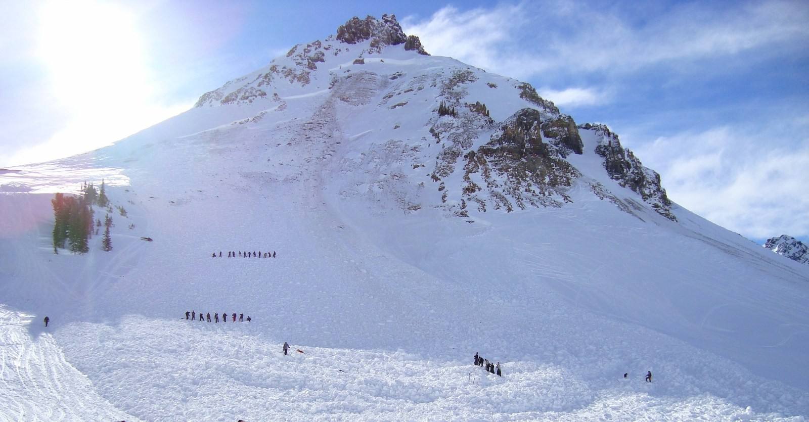
The bottom line is that MODERATE avalanche danger (especially the flavor of Moderate we've been dealing with lately) doesn't mean safe. It means you can trigger serious, even lethal slides unless you pay careful attention to slope angle and aspect.
CAIC forecasters, avalanche.state.co.us
Below the headline number, the forecast names the avalanche problems, such as wind slab or persistent slab, the aspects and elevations where they are most dangerous, and travel advice. Read the discussion, not just the number: the text explains what changed overnight and what the forecaster is most concerned about.
Making it a habit
The forecasters who write the Vail and Summit County forecast start before dawn, reviewing overnight weather, wind, new snow, and observations submitted by backcountry travelers, then confer with forecasters from neighboring zones before publishing. The product of that routine is the afternoon forecast you read. Build the habit the way experienced travelers do: read the zone forecast the evening before a trip and check it again in the morning, because the mountain does not care what the rating was yesterday.
Two more habits complete the picture. Take an avalanche awareness course; the CAIC, AIARE, and the Northwest Avalanche Center offer a free online starting point called Avalanche Aware. And carry rescue gear, beacon, shovel, and probe, plus the training to use them, on every trip into avalanche terrain. The forecast tells you what the snowpack is doing. It cannot keep you safe by itself.